Doug Fir Trail
Bear Canyon Recommended Wilderness: View east from lower Doug Fir Trail (d. walton photos)

Looking north up the lower Doug Fir Trail. Jennifer on the way out.

Bear Canyon Recommended Wilderness: View west from lower Doug Fir Trail. Beartooth Mountains in the distance.

Doug Fir Trailhead with Sign
BLM / Forest Service boundary gate.
Update 7/30/2022": BLM has installed a sign at the Doug Fir Trail Head. See photo. This information and photo are not yet in the printable guide.
Download Printable Guide for the Doug Fir Trail.
Detailed Maps and Driving Directions to Pryor Mountain hiking trailheads are available on the Hiking Overview page.
After a little over a mile in scenic, open grass and shrub land, the Doug Fir Trail enters a Douglas Fir forest as it climbs up the southwest slope of Red Pryor Mountain. This forest ecosystem provides a very different experience from the nearby Big Sky and Rocky Juniper hikes. The trail begins from Horse Haven Rd, 2.8 miles from Helt Rd. (See Hikers Haven Area Driving Directions.) This is 1.0 mile past the start of the Big Sky Trail. As with the other trails in the Hikers’ Haven area there are no trail signs as of November 2021.
0.0 miles, Start of trail:
The trail begins at a “Y” on Horse Haven Rd. at 5,770 ft. elevation. (See photo.) The main right fork is Horse Haven Rd. The left fork, with a post and rocks in the middle, is the Doug Fir Trail. This two track is not open to motorized or mechanized (mountain bike) use.
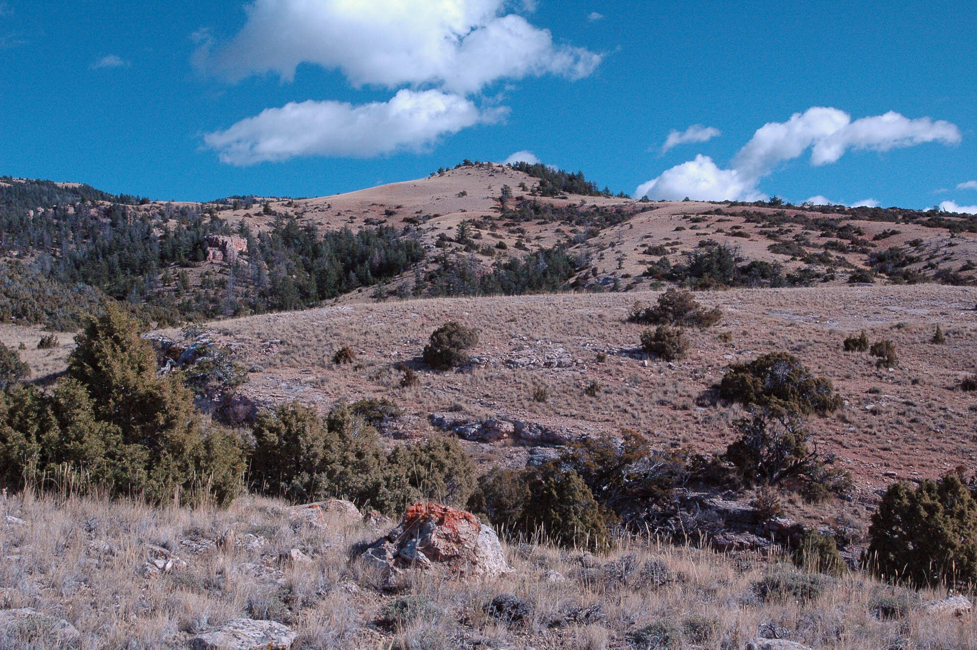
0.4 miles, fence and gate: South of the fence is BLM land. North of the fence is Custer Gallatin National Forest Recommended Wilderness. (See photo.) Please report if this gate is not locked to prevent motorized use.
Click to enlarge.
0.7 Miles, junction: Take the left fork. (The right fork follows a different drainage into the Douglas Fir forest.)
1.0 Miles, junction: A track goes back and right (southeast) to join the right fork from the previous junction. Continue north on the left track.
1.2 Miles, the Trail enters Douglas Fir Forest. From this point on the trail climbs more steeply up the bottom of the forested drainage. Look for well used squirrel trails between the tree trunks.
2.5 miles, track fades away at about 7,600 ft elevation. This endpoint is of no particular significance. Instead enjoy the walk through the forest, and the big scenic views from the trail below. Or…
… for energetic and experienced hikers: It is possible, and rewarding, to continue from end of the track to the top of Red Pryor Mountain. It is about ¾ mile and nearly another 1,000 ft elevation to the top. There is no trail. The first quarter mile is rough bushwhacking through thick timber and between rocky cliffs. The rest of the way to the top is open grassland. You can’t get lost on the way up because uphill is always the way to the top.
Finding the trail on the way down is much more problematic. Without careful and competent use of the topo map and/or GPS (or both) it is a challenge to find the top end of the trail. Hiking down through the woods off-trail could be rough. The GPS coordinates of the top end of the trail are 45.11215N, 108.46595W,
The total round trip to the top of Red Pryor and back is about 6.5 miles with 2,700 ft elevation gain.
Note: There is a 4WD route to the top of Red Pryor Mountain. Nevertheless the view is certainly worth it. If lucky no motorists will be there. The 4WD route does not normally open until April 22. Also the motor access is from the east side, the hike is from the west side.
A loop hike alternative:
An interesting alternative is to go up the Doug Fir Trail and bushwack to the top of Red Pryor Mtn as described above. Then take the Big Sky Trail back down to Horse Haven Rd. This loop hike is almost ten miles round trip (including one mile hiking Horse Haven Rd between the two trail heads) with 3,000 ft elevation gain.
To do this loop you must find the unmarked top end of the Big Sky Trail. There are no signs. Again without the trail the decent could be challenging. See the Big Sky Ridge Trail Guide for help in finding the top end of that trail.