The Pryor Mountains
Ray Masters photo
Below are quick links to several highlights of the website. The menu bar at the top of the page provides access to much additional information.
All content on PryorMountains.org is copyrighted by the Pryors Coalition, Dick Walton and/or the cited authors and photographers.
The Pryor Mountains are unlike any other landscape in Montana
DW photo
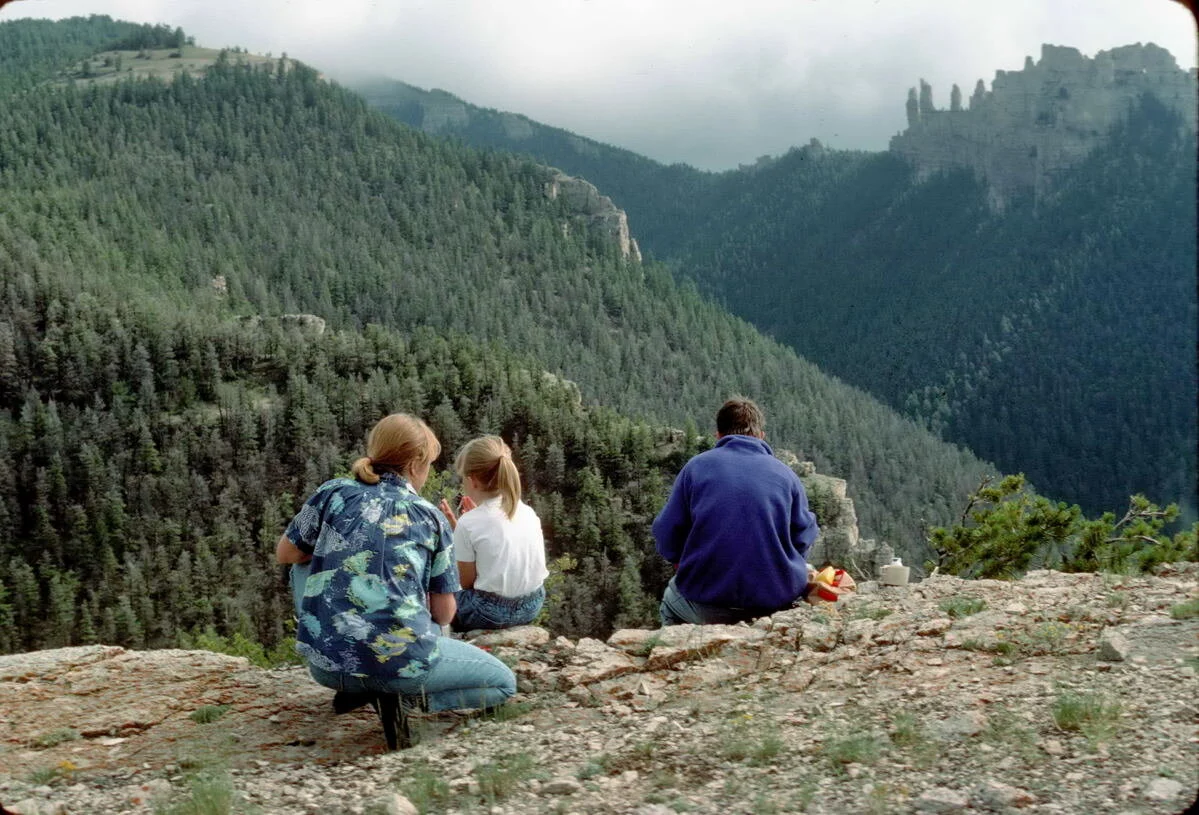
Recommended hikes for all ages and abilities
DW photo
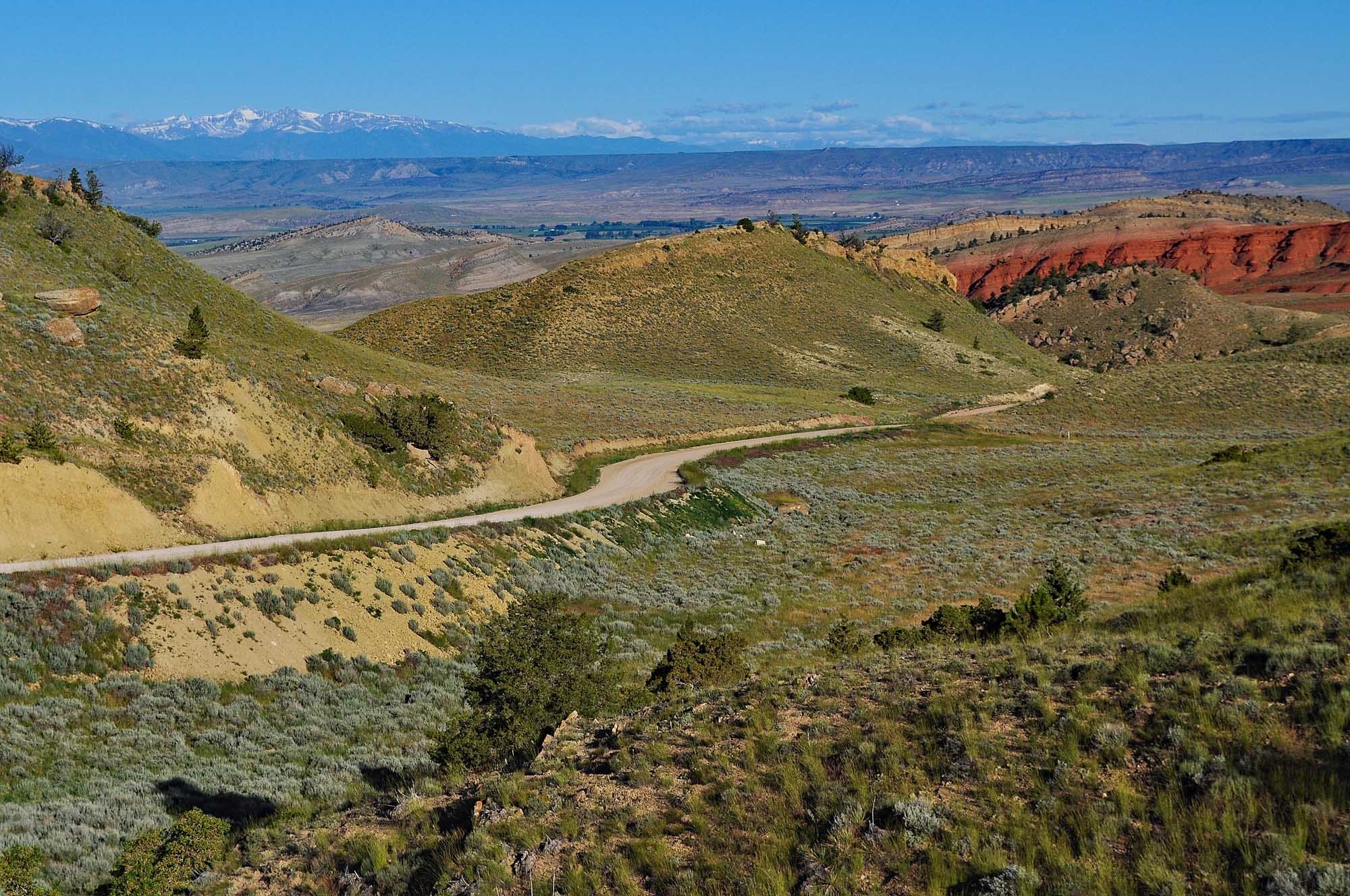
Driving access to the Pryors without 4WD
Ray Masters photo
The Pryors are a rich resource for scientists, teachers, students – and fascinated lay naturalists.

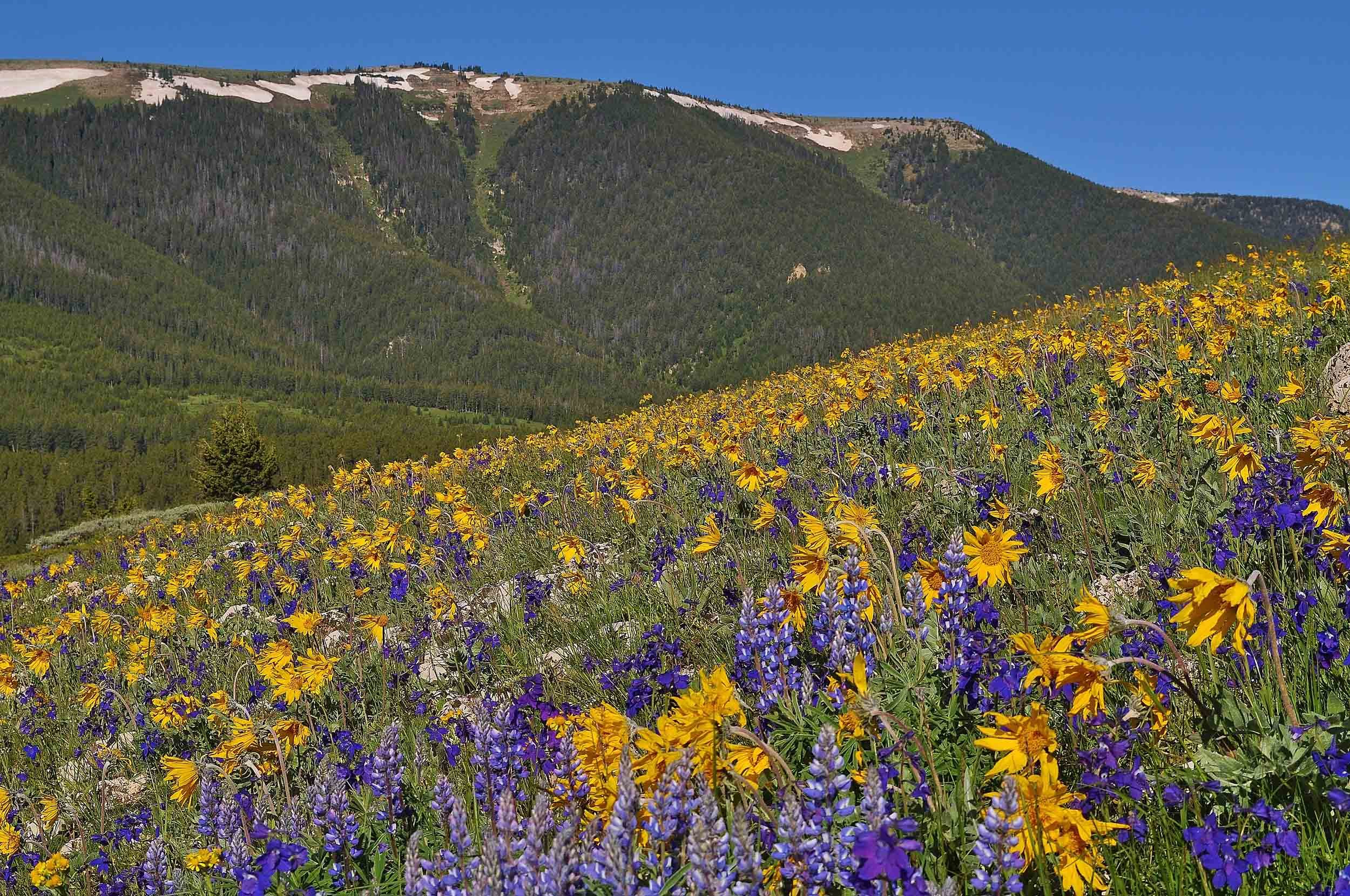
Abundant Wildflowers
DW photo
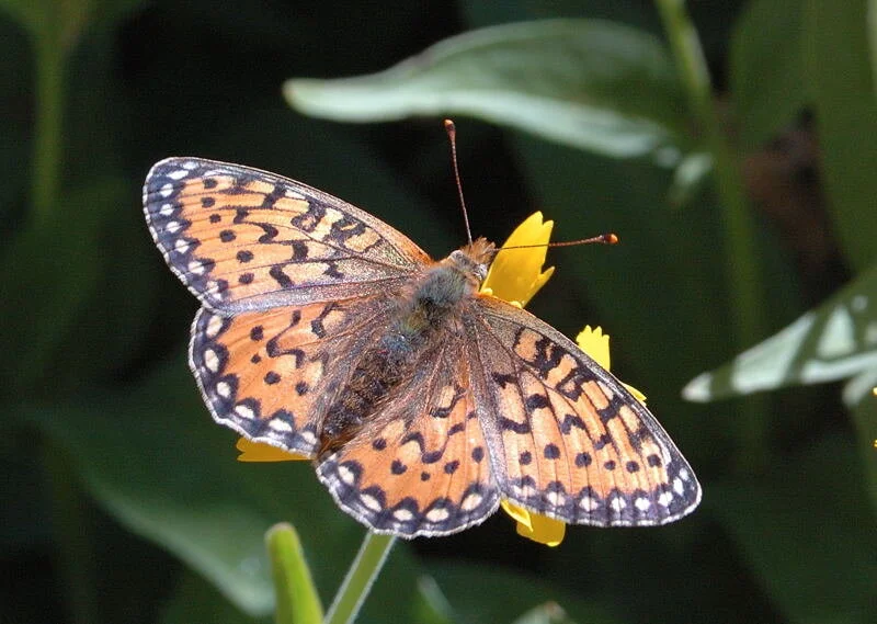
Many colorful butterflies - “wildflowers without roots”
DW photo
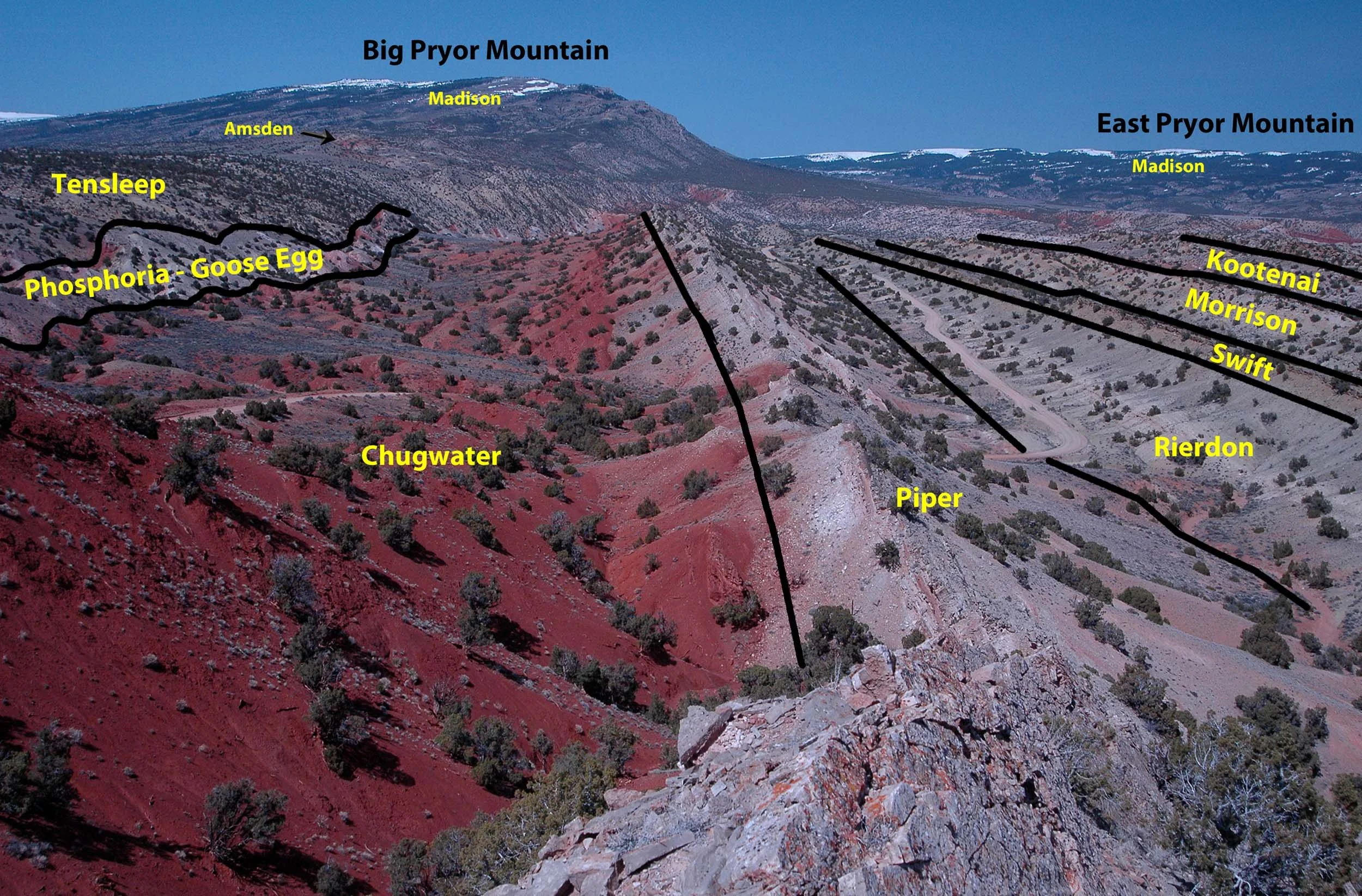
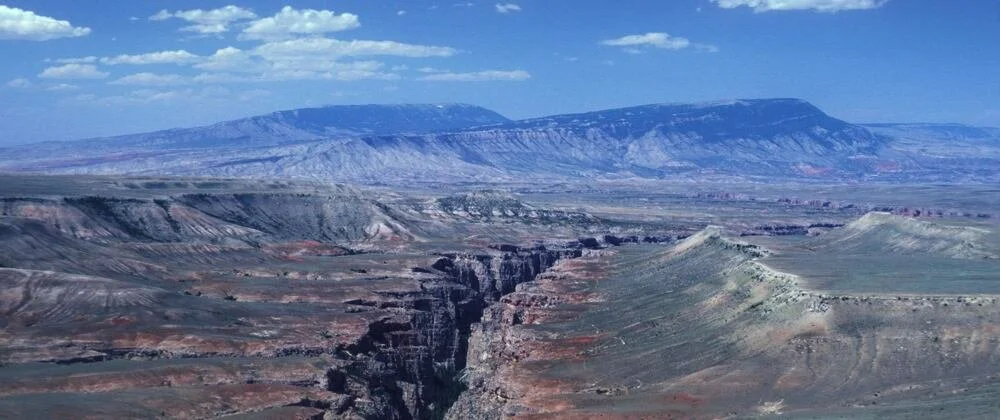
Hundreds of million of years of geologic history.
DW photo
Human history in the Pryors goes back at least 10,000 years
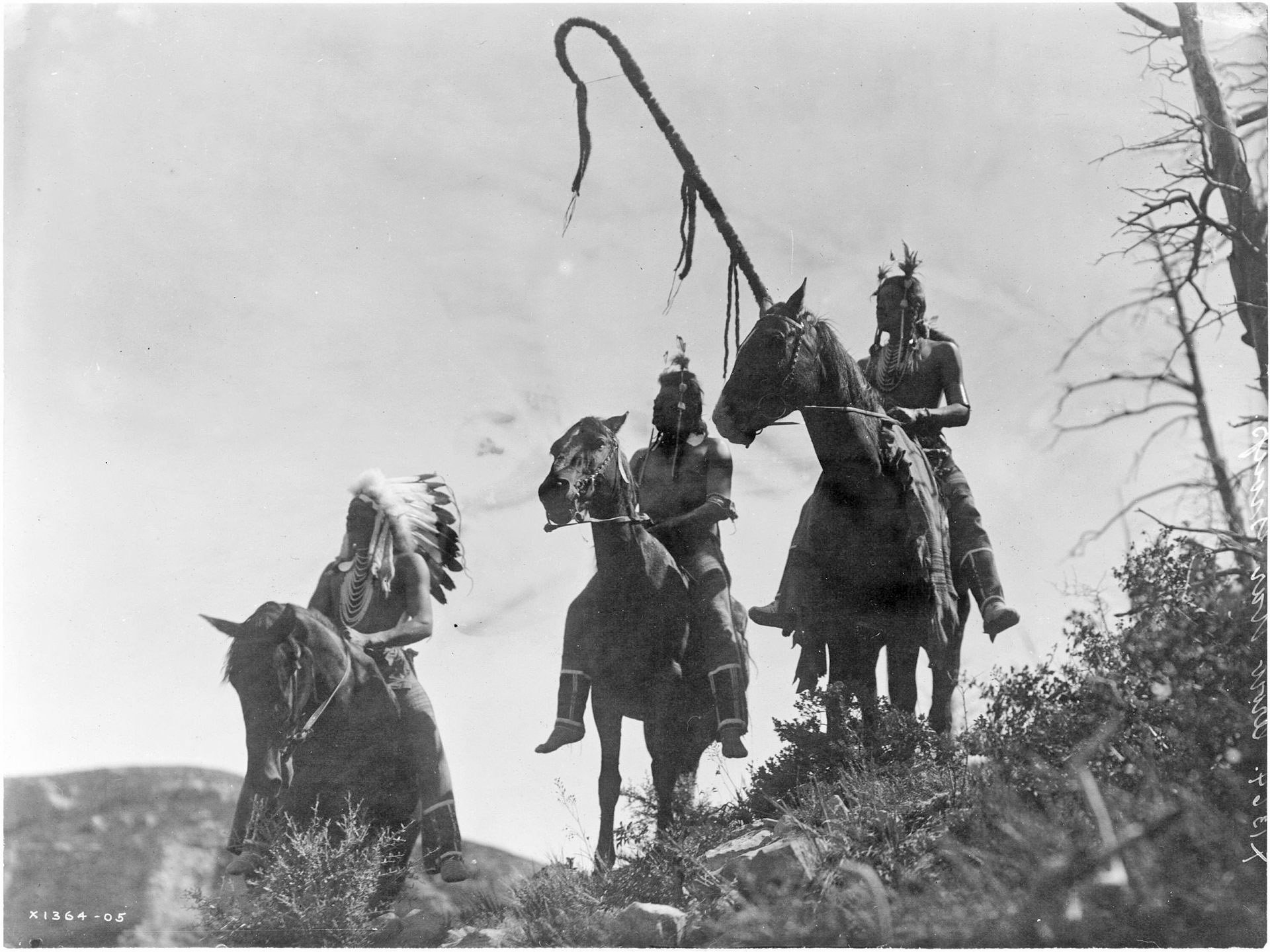
The Pryor Mountains have been sacred to the Apsaalooke (Crow) people for generations and still are today.
Edward S. Curtis photo, Three Crow Horsemen.
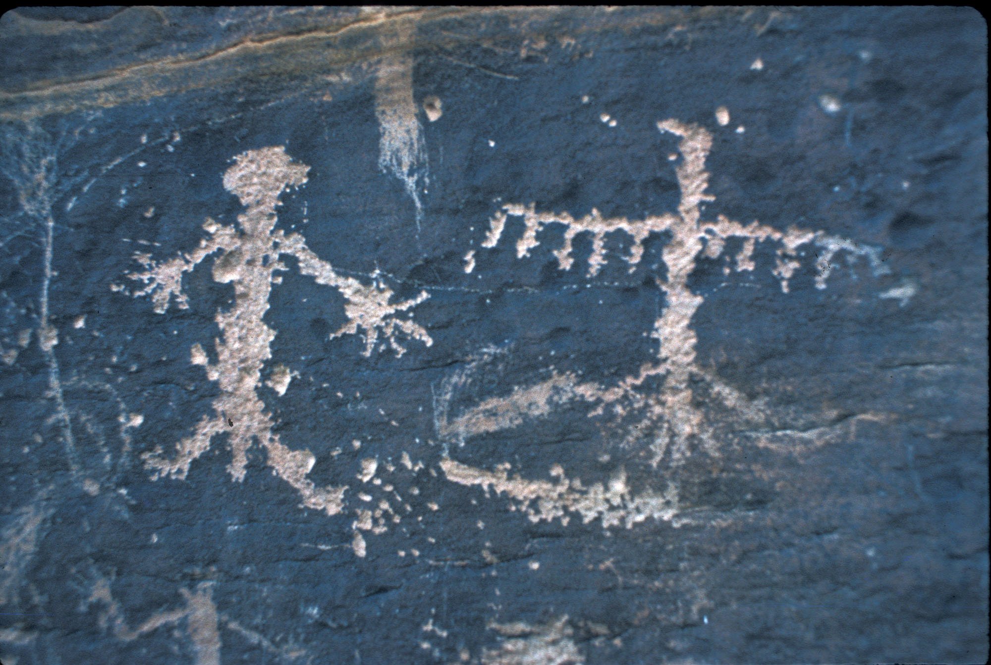
There are hundreds of archaeological sites in the Pryors.
DW photo