There are great places to hike in the Pryors. Unfortunately people who do not already know the Pryors well have a hard time learning where to hike. We hope to help solve that problem with the hikes we recommend below. Some of these, including the Hikers’ Haven Area, and Penney Peak Trails, are excellent early spring and late fall hikes.
At present neither Custer Gallatin National Forest nor the Bureau of Land Management provide much public information on hiking in the Pryors. But BLM has begun signing the hiking trails designated in their 2021 Pryors Travel Plan. There are now signs at the trailheads for the Pygmy Panther, Rocky Juniper, Big Sky, and Doug Fir Trails. BLM has also placed trail signs along the Pygmy Panther, and Rocky Juniper Trails as needed, and done some good work on trailbeds. These two trails are much easier to follow than in the past.
However most of the routes described on this website are not officially designated by BLM or USFS. They will remain unsigned. The Pryors Coalition’s detailed hike guides here help mitigate that deficiency with both driving and hiking directions, maps, and photos.
We think anyone with a highway vehicle and walking shoes should have opportunities to enjoy the Pryors.
Custer Gallatin National Forest (CGNF) has designated 124 miles of motorized ATV and 4WD routes in the Pryors, but only one, less than 2 mile long, motor-free hiking route. The Bureau of Land Management’s (BLM’s) 2021 Pryor Mountain Travel Plan designates 115 miles of motorized routes, but only a token 11 fragmented miles of motor-free hiking routes. CGNF and BLM provide public information, including maps, of the 239 miles of motorized routes which are signed on the ground. The managing agencies should provide a similar opportunities and service for hikers and equestrians.
Almost all of the routes listed below are open only to foot-travel (human and/or horse). Either they are not designated at all by the managing agencies (BLM, USFS, NPS), or they are explicitly designated for foot-travel only. In either case mechanized use by wheeled vehicles (motorized or not) are not permitted. The Bear Canyon Ridge Hike (not the Creek Hike) is an exception, open to motorized use and mountain bikes. All the abundant 4WD routes in the Pryors are open to mountain bikes.
Click to download printable Maps & Driving Directions to all Pryors Hiking Trailheads.
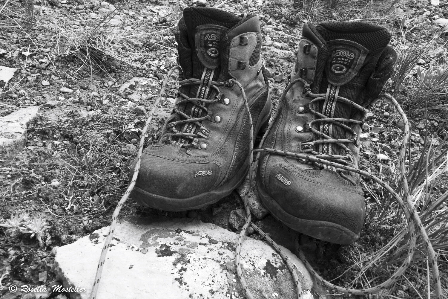
Upper Layout Creek Hike (dw photo)
Try these hikes:
Click on each to see hike guide.
2 & 3. Timber Canyon and Water Canyon Trails
4. Bear Canyon Hikes (Creek Trail and Ridge Trail) and Pygmy Panther Trail
9 & 11. Penney Peak and Demijohn Flat Hikes
12. Crooked Creek Access Trail
13. Crater Ice Cave / Big Pryor Mountain Trail
15. Cave Ridge Hike
16. Lost Water Canyon Rim Hike
17. Sykes Arch Hike
19. Rangers Trail
Click on Maps to enlarge.
You can help.
After your hike tell us how the hike guide worked. How can it be improved? Conditions may have changed since the guide was written. Since most of these routes are not officiallly designated, signed and monitored by the Forest Service or Bureau of Land Management, the guides need details and photos to help people who have not been there to follow the route.
Note:
Each hike has a downloadable pdf that can be printed to take with you. The webpages may have more and/or updated info not in the print guides. The photos on the webpage can be enlarged to see more details. And there are more scenic photos on the webpages.